Oklahoma Cemeteries Website
butterfly
image
Click here to break out of frames
This information is available for free. If you paid money for a
subscription to get to this site, demand a refund.
Claud Cemetery, Stephens County, Oklahoma

photo
Claud Baseline
photo
Claud Road
photo
Claud Sign

photo
Claud Marker

© Tammy Sharp

Claud Cemetery
Stephens County, Oklahoma

Cemetery surveyed January 1, 2004. submitted by: Karla Sharp & Tammy Sharp

Directions:
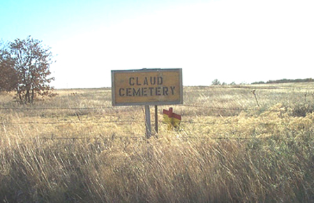
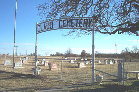
On new Hwy 7 approximately 3 miles east of Velma, turn north on Purdue Ave. (across from the Alma Baptist Church sign). Go 4.3 miles to Baseline Rd. (a `T' intersection). Turn East on Baseline Rd. and go 1 mile to the first Claud Cemetery sign (on the south side of rd). Then turn south and go 7/10ths of a mile to the second Claud Cemetery sign (on west side of rd) then turn west and go 2/10ths mile.
Latitude: 34.497°N ~ Longitude: 97.602°W

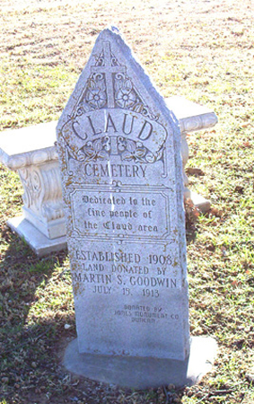
If you know of someone buried here who is not listed, please contact Aimee Davis for inclusion.

Anderson ~ Collier, J Collier, M ~ Laurence Layn ~ O'Neal Pickens ~ Wright

|Stephens County Page|  |Home|


This page was updated: Tuesday, 24-May-2022 18:29:33 EDT

This site may be freely linked, but not duplicated
in any way without consent.

© for the Oklahoma Cemeteries Website

The copyright (s) on this page must appear on all
copied and/or printed material.

All rights reserved! Commercial use of material within this site is prohibited!